WELCOME TO GEO Land Survey AND GIS
Professional Land Survey Services by Trusted Surveyors
We shape and change the physical space
Our team of expert land surveyors and GIS professionals has built a strong reputation for providing accurate land surveying solutions and maintaining the highest standards of professional excellence in the geospatial industry. Known for precision, reliability and innovation, we focus on understanding the unique requirements of each project to provide customized survey services that truly add value.
By using advanced technologies such as Total Station, Auto Level and DGPS along with real time reporting systems, we ensure superior accuracy, fast execution and reliable results. Our commitment to quality and technology-driven methods makes us a reliable partner for successful land surveying and GIS projects.
Professional Team →
Expert Brain at Work
Detailed Document →
Comprehensive Project Record
Accurate report →
Accurate-based survey report
Latest Equipment →
Advanced Survey Technologies
Build Your Dream
Quality Services

Drone Survey
Using UAV and Advanced image-transmissions, we provide high-resolution mapping, 3D terrain models and accurate data-faster, smarter and more cost-effective than traditional methods.

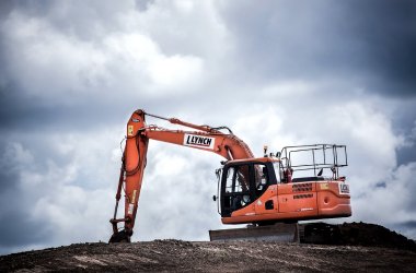
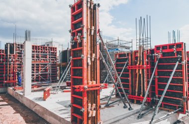
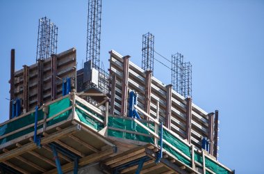
Building Construction Survey
We offer accurate land and building survey to support the construction plan, future development and maintain historical records of monuments.

Layout Drawing
Our expert team makes layout pictures for land use, roads, parks and community locations, which ensure accurate plan and efficient space use.

Topographical Survey
We provide accurate, expansion-oriented topographic survey that map ground controls and features according to international quality standards.

Road survey
We conduct highway and road surveys using advanced techniques and expert engineers to provide accurate data for safe and efficient infrastructure planning.

Railway Survey
Our experts use DGP, advanced equipment and latest software for accurate new alignment, final location and gauge conversion surveys in railway projects
Sustainability
Committed to keep people healthy and safe
In the GEO surveyors and GIS, we follow permanent survey practices using environmentally friendly technologies, accurate planning and safe methods. Our approach not only ensures accuracy, but also protects communities and environment for future generations.
We Follow The Best Practices
We adopt industry-agronic methods and international standards to provide accurate, reliable and efficient survey solutions.
- Sustainability
- Project On Time
- Modern Technology
- Latest Design
Industry-Focused Survey Training for Future-Ready Surveyors
Our comprehensive surveying training programs are designed to equip students and professionals with practical skills in land surveying and modern surveying technologies. Guided by experienced surveyors, our training combines classroom learning with real-time field practice using advanced instruments such as Total Station, Auto Level and DGPS. This practical approach ensures learners gain the industry-relevant knowledge, confidence and job-ready expertise needed to build a successful career in the land surveying and GIS field.
Building Surveys
DGPS
DGPS Survey
About Founders
We Are Leading International Company In The World
Nishat Khan
CEO
Vinita Khatri
Director
Kailash Heerani
Coordinator
GEO Surveyor and GIS is a famous survey and GIS solutions company operating PAN India. With a team of 250+ skilled professionals, we provide high quality survey and geopolitical services in all major states of India.
Request a Quote
Learn More From
Frequently Asked Questions
Land surveying helps define precise property boundaries, prevent legal disputes, and ensure accurate planning before construction begins.
We use advanced GPS, drones and total station equipment to deliver highly accurate and reliable data for every project.
Yes, we offer drone-based surveying for fast data collection, 3D mapping, and detailed topographic analysis.
