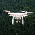
We provide advanced drone land survey services designed for accuracy, speed and efficiency. Using high-resolution drones, we capture accurate topographic data, 3D maps and aerial imagery. Our surveys help in land development, construction planning and site analysis. With modern drone technology, we provide detailed information that saves time and reduces costs for every project.