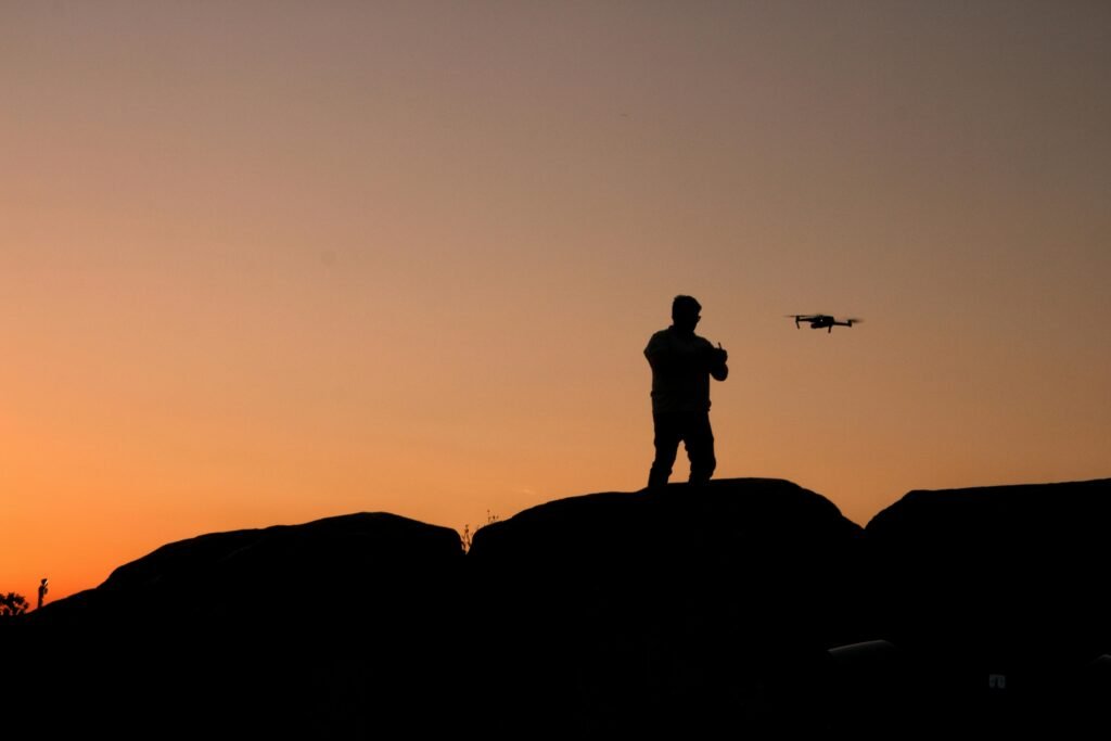
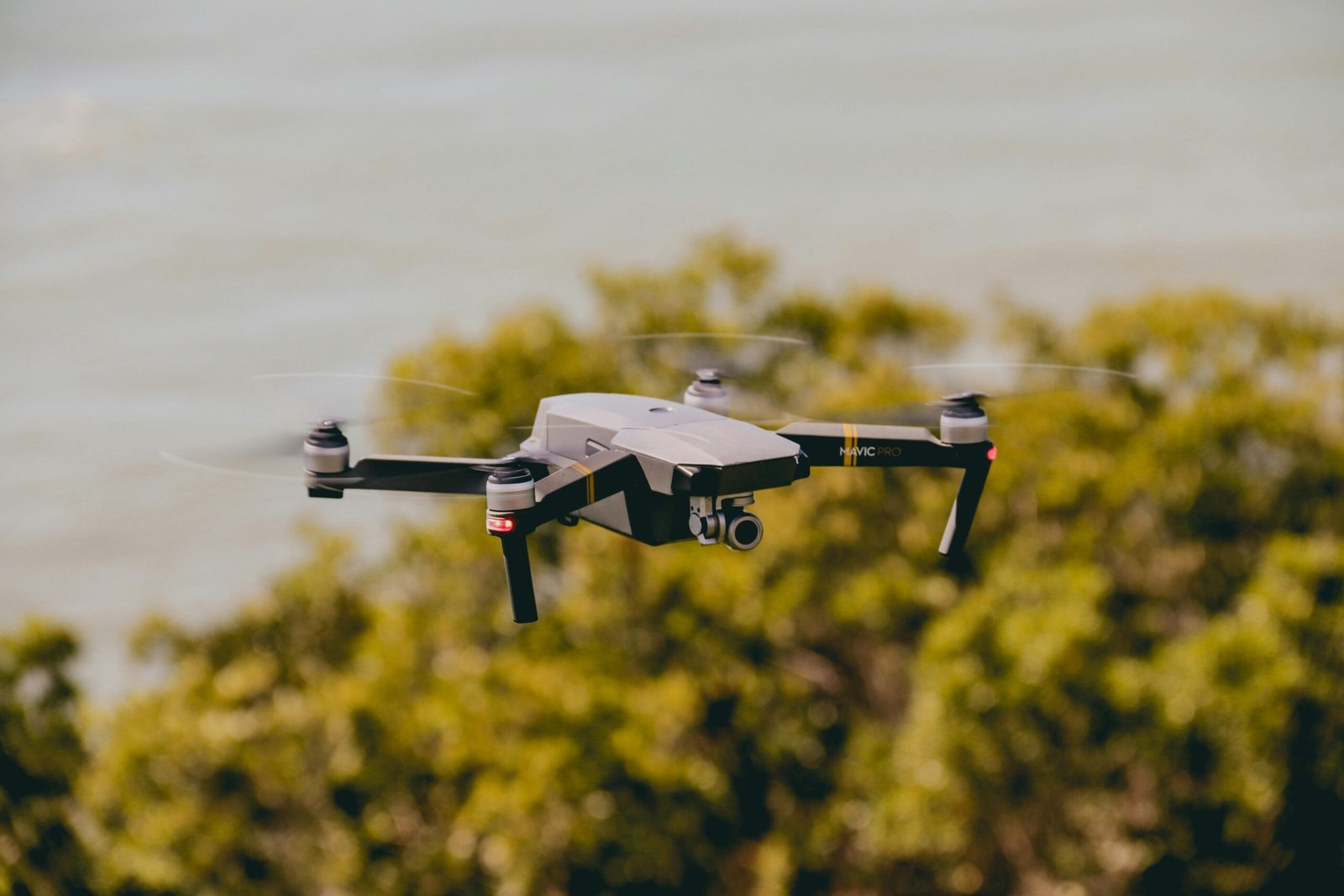
Drone Site Survey in Jodhpur – Accurate & Fast Site Analysis

Professional Drone Site Survey for Construction & Land Projects

Drone Site Survey is one of the most advanced methods for analyzing land and construction sites with speed and precision. At Geoland Survey, we provide reliable Drone Site Survey in Jodhpur using modern UAV technology to deliver accurate site data for better planning and execution.

Our service is designed for engineers, builders, contractors, and developers who need clear and detailed site insights. With aerial mapping and smart data processing, a Drone Site Survey helps reduce errors and improve decision-making at every stage of the project.

What is a Drone Site Survey?

A Drone Site Survey uses drones equipped with high-resolution cameras and GPS systems to capture aerial images of a site. These images are processed into maps, models, and measurements that provide a complete view of the land.

Compared to traditional methods, this approach is faster, more efficient, and highly accurate, making it ideal for modern construction and infrastructure projects.

Drone Site Survey

Key Benefits of Drone Site Survey

Accurate Site Data

A Drone Site Survey provides precise measurements and detailed visuals, helping professionals plan with confidence.

Faster Survey Process

Large areas can be covered quickly, saving valuable time and accelerating project timelines.

Cost-Effective Solution

By reducing manual effort and fieldwork, a Drone Site Survey helps lower overall survey costs.

Better Project Monitoring

Regular aerial updates allow teams to track site progress and identify issues early.

Improved Safety

Drones can survey difficult or risky areas without putting human workers in danger.

Applications of Drone Site Survey

Construction Planning

A Drone Site Survey helps in understanding terrain, layout, and elevation before starting construction.

Progress Tracking

Monitor ongoing work and ensure everything is aligned with project plans.

Infrastructure Projects

Used for roads, highways, and large developments where accurate site data is critical.

Land Development

Developers use aerial surveys to evaluate land and plan projects effectively.

Why Choose Geoland Survey in Jodhpur?

Geoland Survey is known for delivering dependable drone-based solutions with a focus on accuracy and efficiency. Our team uses advanced equipment and proven workflows to ensure every project meets high standards.

We understand local project requirements in Jodhpur and Rajasthan, which helps us deliver better and more relevant survey results.

Our Process

We begin by understanding your site requirements and planning the drone flight accordingly. After capturing aerial data, we process it using advanced software to create maps and reports. The final output is clear, detailed, and ready to use for your project.

drone site survey

Technology We Use

We use modern drones with high-resolution cameras, GPS systems, and mapping software to ensure reliable data collection. The processed output includes orthomosaic maps, elevation models, and 3D visuals that provide a complete site overview.

Get Drone Site Survey in Jodhpur Today

If you need accurate and efficient site analysis, our team is ready to help. Get in touch with Geoland Survey for a professional Drone Site Survey in Jodhpur and take your project planning to the next level.

Call Us