
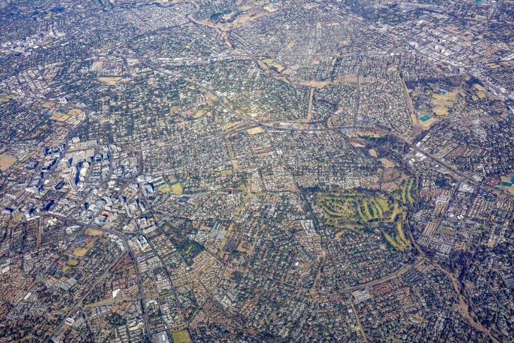
The term geospatial refers to information, technology, and data that are connected to a specific location on the Earth’s surface. In simple terms, geospatial information helps people understand where things are, how they relate to one another, and how locations change over time. Modern mapping systems, navigation apps, satellite imagery, and geographic information systems all rely on geospatial data to provide accurate and useful insights.
Today, this technology plays a significant role in everyday life. From finding the fastest route to work using a navigation app to planning infrastructure projects and monitoring environmental changes, location-based information supports decision-making across many industries. As technology continues to evolve, the importance of geospatial solutions continues to grow worldwide.
Understanding Geospatial
Definition
Geospatial refers to any information that is associated with a geographic location. This information may describe natural features, buildings, roads, utilities, populations, or environmental conditions linked to a specific place.
Why Location-Based Data Matters
Location is often one of the most important factors in decision-making. By understanding where events occur, organizations can identify patterns, improve planning, and respond more effectively to challenges.
The Growing Importance of Spatial Information
As more devices collect location data through satellites and sensors, geospatial information has become an essential resource for governments, businesses, and researchers.
What Is Geospatial Data?
Components of Geospatial Data
Geospatial data typically combines location information, descriptive attributes, and time-related information. Together, these elements provide a complete picture of an object or event.
Static and Dynamic Information
Some location data remains relatively fixed, such as buildings and property boundaries. Other information changes frequently, including vehicle movements, weather conditions, and population trends.
Sources of Data Collection
Information can be collected from satellites, drones, GPS devices, mobile phones, aerial photography, and field surveys, creating a rich source of spatial intelligence.
Types of Geospatial Data
Vector Data
Vector data represents features using points, lines, and polygons. Roads, property boundaries, utility networks, and buildings are common examples of vector-based information.
Raster Data
Raster data consists of grid cells or pixels that create images and surface models. Satellite imagery and aerial photographs are widely used raster datasets.
Three-Dimensional Data
Modern technologies allow the creation of detailed three-dimensional models that improve visualization and support engineering, construction, and urban planning projects.
Technologies Used
Geographic Information Systems
Geographic Information Systems, commonly known as GIS, help collect, manage, analyze, and visualize spatial information through digital maps and databases.
Global Positioning Systems
GPS technology allows users to determine precise locations anywhere on Earth, supporting navigation, mapping, and surveying activities.
Remote Sensing and Drones
Remote sensing technologies use satellites, aircraft, and drones to gather information about land, water, vegetation, and infrastructure without direct contact.
Applications of Geospatial Technology
Urban Planning and Development
Cities use geospatial tools to plan transportation systems, utilities, housing developments, and public services more efficiently.
Construction and Infrastructure
Engineers and surveyors rely on geospatial information to design roads, bridges, railways, airports, and large construction projects.
Environmental Monitoring
Environmental professionals use location-based data to track climate changes, monitor forests, assess water resources, and manage natural disasters.
Benefits of Geospatial Information
Better Decision-Making
Accurate location data allows organizations to make informed decisions based on real-world conditions and spatial relationships.
Improved Operational Efficiency
Businesses can optimize routes, manage assets, and improve resource allocation through the use of geospatial technologies.
Enhanced Risk Management
Governments and organizations use spatial analysis to identify hazards, prepare emergency responses, and reduce risks associated with natural disasters.
Analytics and Mapping
Understanding Spatial Patterns
This analytics helps identify trends, relationships, and patterns that may not be visible in traditional spreadsheets or reports.
Data Visualization Through Maps
Maps provide a clear visual representation of information, making complex datasets easier to understand and interpret.
Supporting Predictive Analysis
By combining location data with historical information, organizations can forecast future conditions and improve planning strategies.
The Future of Geospatial Technology
Artificial Intelligence and Automation
The integration of artificial intelligence is making geospatial analysis faster, more accurate, and more accessible to organizations of all sizes.
Smart Cities and Digital Infrastructure
Future smart cities will depend heavily on this systems to manage transportation, utilities, public safety, and urban growth.
Expanding Role Across Industries
As technology advances, geospatial applications are expected to become even more important in agriculture, healthcare, logistics, telecommunications, and environmental management.
Conclusion
Geospatial technology combines location, data, and analysis to help people understand the world around them. Through tools such as GIS, GPS, remote sensing, and digital mapping, geospatial solutions support everything from navigation and infrastructure planning to environmental monitoring and emergency response. As organizations continue to rely on location-based intelligence, the role of geospatial technology will remain essential in shaping smarter, safer, and more connected communities.