
Land Survey Services
We provide complete land surveying solutions, including boundary marking, topographic surveying, layout work, leveling, site planning and construction surveying.
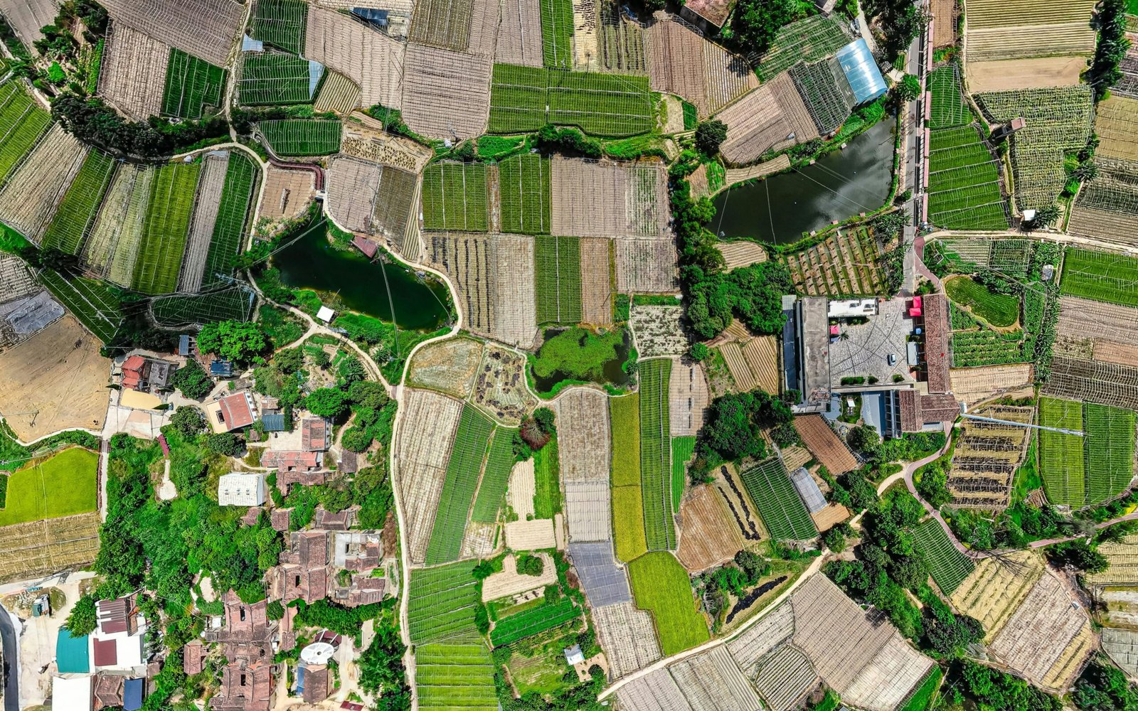
Topographic Survey
A topographic survey shows the natural and man-made features of land including level, slope, shape, and elevation. It is essential for construction planning, road design, drainage systems and land development.

Boundary Survey
A boundary survey determines the exact legal boundaries of a property. It helps avoid disputes, ensure accuracy during land division and assists in preparing property documents.

GIS Survey Services
Our GIS-based survey helps create accurate digital maps, spatial data layers, thematic mapping and project-specific analysis for planning and development.
GPS Survey Services
We use high-precision GPS equipment for coordinate measurement, point marking, route mapping and control point establishment ensuring fast and reliable results.

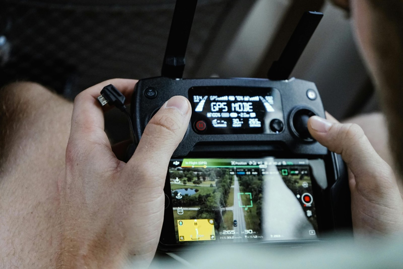
Drone Survey Services
Drone-based aerial survey captures high-resolution images and detailed terrain data, providing accurate maps, 3D models and analysis for large-scale projects.

Construction Layout Survey
Our GIS-based survey helps create accurate digital maps, spatial data layers, thematic mapping and project-specific analysis for planning and development.

Layout & Plotting Survey
Used for colony development, plot marking and layout design. Ensures accurate planning for residential, industrial and commercial land development.

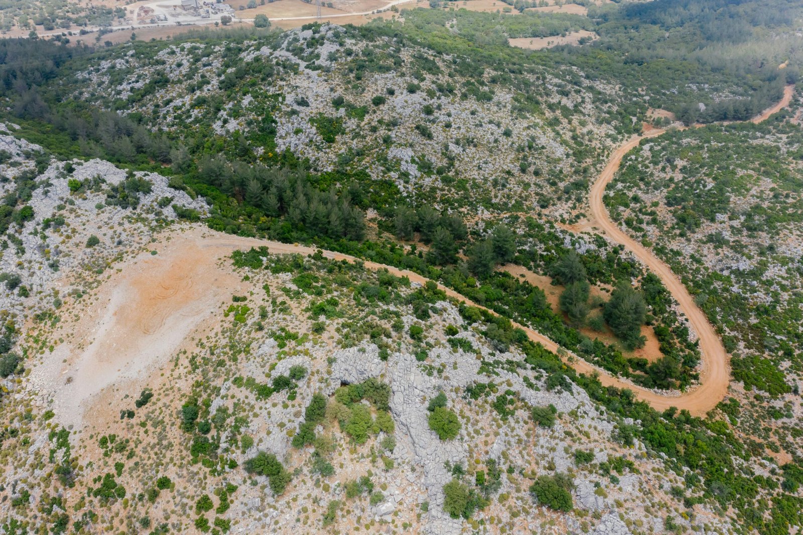
Road & Highway Survey
Highway surveys help in planning road alignment, width, height, bridges and drainage systems. Essential for infrastructure projects and government tenders.

Railway Track Survey
Precise surveying for rail alignment, curve calculations, slope design and bridge layout.

Irrigation & Canal Survey
Used to design irrigation channels, water flow patterns and canal structures for agricultural planning.
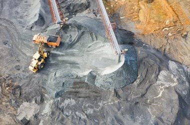
Mining Survey
Mining surveys measure excavation areas, pit depths, mineral locations and safety limits. Useful for mining operations and mine management.