Drone Mapping Service in Jodhpur – Accurate & Advanced Survey Solutions
Drone Mapping Service for High-Precision Land & Site Analysis
Drone Mapping Service is rapidly becoming the most efficient and accurate method for land surveying, mapping, and data collection. At Geoland Survey, we provide professional Drone Mapping Service in Jodhpur designed to deliver precise aerial data for construction, infrastructure, agriculture, and property analysis.
With the integration of advanced UAV technology, our Drone Mapping Service helps businesses and individuals make smarter decisions by providing high-resolution maps, 3D models, and detailed land insights. Whether you are a builder, engineer, contractor, or landowner, our services are tailored to meet your specific project requirements.
What is Drone Mapping Service?
Drone Mapping Service is a modern surveying technique that uses unmanned aerial vehicles (UAVs) equipped with high-quality cameras and GPS systems to capture aerial images of land and structures. These images are processed using specialized software to create accurate maps and models.
The process begins with proper flight planning, followed by drone data collection. After capturing aerial images, the data is processed into outputs such as orthomosaic maps, digital surface models, and 3D representations. This makes Drone Mapping Service a highly effective solution compared to traditional land surveying methods.

Key Advantages of Drone Mapping Service
High Precision and Accuracy
One of the biggest advantages of Drone Mapping Service is its ability to provide highly accurate data. With advanced GPS and imaging systems, it ensures centimeter-level precision, which is essential for engineering and construction projects.
Faster Project Completion
Traditional surveying methods can take days or even weeks, but Drone Mapping significantly reduces the time required. Large areas can be mapped within hours, helping you complete projects faster.
Cost-Effective Surveying Solution
By reducing manual labor and minimizing fieldwork, Drone Mapping Service lowers overall project costs. It is an ideal solution for businesses looking for efficient and affordable survey methods.
Detailed and High-Quality Outputs
Our Drone Mapping Service delivers high-resolution orthomosaic images, contour maps, elevation data, and 3D models, giving you a complete understanding of the land.
Safe and Risk-Free Operations
Drones can easily access difficult terrains, hazardous areas, and restricted locations. This makes Drone Mapping a safer alternative to traditional surveying techniques.
Applications of Drone Mapping Service in Different Industries
Construction and Infrastructure Development
In construction projects, Drone Mapping Service plays a crucial role in site planning, progress monitoring, and volume calculations. It helps project managers track development and ensure accuracy in execution.
Land Survey and Property Mapping
For landowners and real estate professionals, Drone Mapping Service provides accurate boundary identification and land measurement. It is extremely useful for property disputes and legal documentation.
Agriculture and Farm Management
Farmers and agricultural experts use Drone Mapping Service to monitor crop health, analyze soil conditions, and improve productivity. It helps in precision farming and better land utilization.
Mining and Quarry Surveys
Mining companies rely on Drone Mapping Service for stockpile volume calculations, site monitoring, and operational planning. It ensures efficiency and safety in mining operations.
Urban Planning and Development
Government agencies and planners use Drone Mapping for city planning, road development, and infrastructure projects. It provides accurate data for better planning and execution.
Why Choose Geoland Survey for Drone Mapping Service in Jodhpur?
Geoland Survey is a leading provider of Drone Mapping Service in Jodhpur, known for delivering reliable and accurate survey solutions. Our team of experienced professionals uses the latest drone technology and software to ensure high-quality results.
We understand the importance of precision in every project, which is why our Drone Mapping Service focuses on accuracy, efficiency, and timely delivery. We work closely with our clients to provide customized solutions based on their project needs.
Our Drone Mapping Process
At Geoland Survey, we follow a systematic approach to ensure the best results for every Drone Mapping Service project.
The process starts with understanding the client’s requirements and conducting a site assessment. After planning the drone flight, we capture high-resolution aerial data. This data is then processed using advanced mapping software to generate accurate maps and models. Finally, we deliver detailed reports that are easy to understand and use.


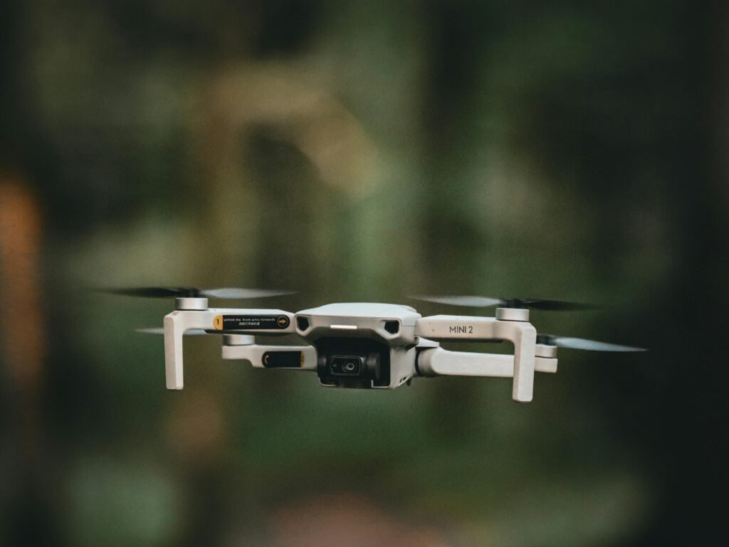
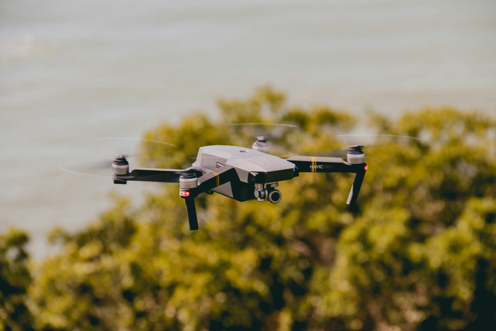
Technology Used in Drone Mapping
Our Drone Mapping uses advanced UAV systems equipped with high-resolution cameras, GPS modules, and mapping software. These technologies ensure precise data collection and high-quality outputs.
We use professional tools for data processing, including photogrammetry software and GIS platforms, to convert raw data into actionable insights. This makes our Drone Mapping highly reliable and efficient.

Future of Drone Mapping in India
The demand for Drone Mapping is growing rapidly in India due to its efficiency and accuracy. Industries such as construction, agriculture, and infrastructure are increasingly adopting this technology.
With government support and advancements in drone technology, Drone Mapping is expected to become the standard method for surveying and mapping in the coming years. Businesses that adopt this technology early will gain a competitive advantage.

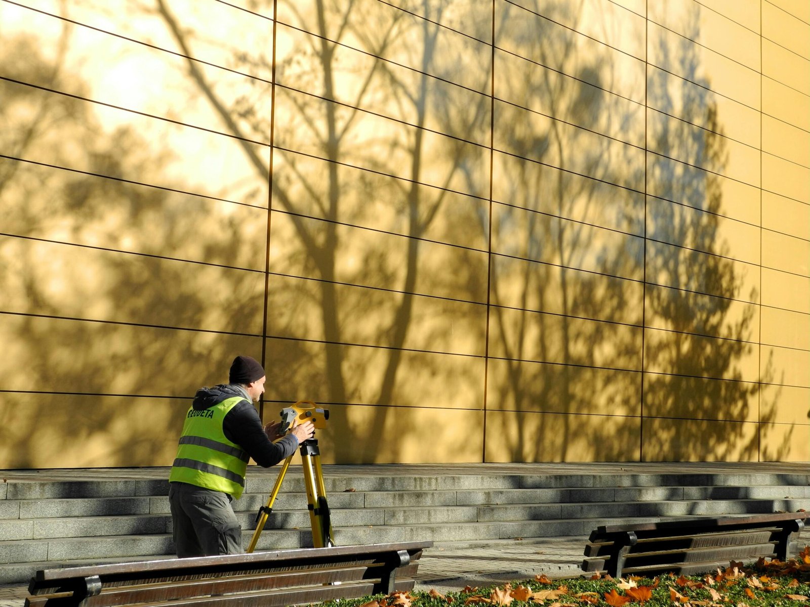
Drone Mapping Service in Jodhpur – Contact Geoland Survey Today
If you are looking for a professional and accurate Drone Service in Jodhpur, Geoland Survey is your trusted partner. We provide customized solutions that meet your project requirements and deliver reliable results.
Get in touch with us today to experience the benefits of advanced Drone Mapping and take your land survey and mapping projects to the next level.
