
The Land Survey Process is a systematic method used to determine the location, boundaries, dimensions, and physical features of a property. Surveyors follow a series of steps that combine research, field measurements, and data analysis to create accurate maps and survey reports. In India, land surveys play an important role in property transactions, infrastructure development, construction projects, agricultural planning, and boundary verification.
Modern surveying uses advanced technologies such as GNSS receivers, Total Stations, drones, and Geographic Information Systems (GIS). These tools help surveyors collect precise data and produce reliable results that support landowners, engineers, architects, developers, and government agencies.
How Do Surveyors Create a Survey?
Creating a survey involves careful planning, accurate measurements, and detailed documentation. Each stage contributes to the accuracy of the final deliverable.
Researching Property Records
Before visiting the site, surveyors review available documents such as title deeds, previous survey records, revenue maps, subdivision plans, and government land records. This research helps establish existing property information and identify potential discrepancies.
Planning the Survey Work
Surveyors determine the scope of the project, identify required measurements, and select the appropriate surveying methods. Planning also includes evaluating site conditions and determining the equipment needed for fieldwork.
Establishing Reference Points
Control points or reference markers are established to ensure measurement accuracy. These points provide a framework for collecting consistent and reliable survey data across the project area.
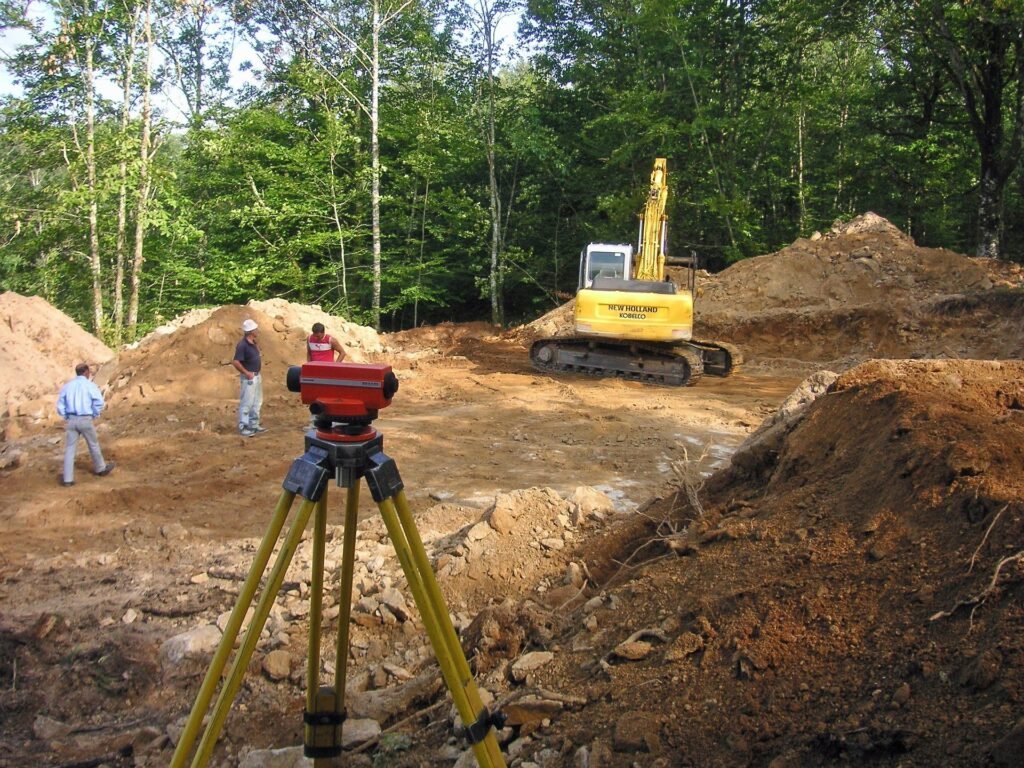
Conducting Field Measurements
Once planning is complete, surveyors collect measurements using professional instruments. Distances, angles, elevations, and coordinates are recorded to accurately represent the property and its features.
Data Collection During the Land Survey Process
Field data collection is one of the most important stages of a survey. Accurate measurements directly affect the quality of the final map and report.
Measuring Distances and Angles
Surveyors use Total Stations and electronic measuring devices to record distances and angles between points. These measurements help define property boundaries and site features.
Using GNSS and GPS Technology
Modern surveys frequently use Global Navigation Satellite Systems (GNSS) and GPS equipment to determine highly accurate coordinates. RTK technology can provide centimeter-level accuracy for many surveying applications.
Recording Physical Features
Important site features such as buildings, roads, utility lines, fences, trees, water bodies, and topographic elements are documented during fieldwork. These details help create a complete representation of the property.
Verifying Measurements
Surveyors often perform repeated observations and checks to confirm accuracy. Verification reduces errors and improves confidence in the collected data.
Processing and Mapping Survey Information
After field measurements are completed, the collected data is processed and converted into usable information.
Downloading and Organizing Data
Field measurements are transferred from surveying instruments into specialized software where they are organized and prepared for analysis.
Analyzing Survey Measurements
Surveyors review the collected information, compare it with existing records, and identify any inconsistencies. Adjustments may be made to ensure data accuracy.
Creating Maps and Drawings
The processed information is used to create survey plans, boundary maps, topographic maps, and other project-specific drawings. Modern software allows surveyors to generate highly detailed digital maps.
Integrating GIS and CAD Systems
Many survey projects use GIS and Computer-Aided Design (CAD) software to improve visualization, data management, and project coordination.
Final Deliverables in the Land Survey Process
The final stage involves preparing the documents and information required by the client or project team.
Survey Plans and Maps
Survey maps provide a graphical representation of the property, including boundaries, dimensions, and significant features identified during the survey.
Survey Reports
A survey report summarizes the methodology, measurements, findings, and observations recorded during the project. It serves as an official record of the survey work.
Boundary Information
Boundary data helps property owners understand the extent of their land and supports legal, planning, and development activities.
Project Documentation
Additional deliverables may include coordinate lists, digital files, GIS datasets, topographic information, and supporting documentation required for the project.
Conclusion
The Land Survey Process combines research, field measurements, data analysis, and mapping to create accurate representations of land and property. From reviewing records and collecting field data to producing maps and reports, each step contributes to reliable survey results. Understanding how surveyors create a survey helps property owners, developers, engineers, and planners appreciate the importance of professional surveying in land management, construction, and infrastructure development.