
Introduction to Drone Property Survey
Drone property surveying has changed the way landowners, developers and project planners understand their land. With the rise of modern surveying technologies, using drones to survey properties has become a preferred option for its speed, accuracy, and ability to reach difficult terrain. At Geo Land Survey, drone property surveys allow customers to obtain high-resolution aerial maps, 3D models and detailed site data without the delays and limitations of traditional ground-based methods. As the real estate and construction industries adopt more digital tools, drone survey stands out as a powerful and highly efficient solution.
Why Drone Survey Is Becoming Essential
Drone property surveys provide a level of detail and coverage that manual surveys cannot compare to. A drone can capture an entire property in minutes, generating accurate elevation data, ortho mosaic maps and scene records. This efficiency makes drone surveys essential for large plots, inaccessible sites, and projects where quick decisions are required. Geo Land Survey uses advanced UAV systems to deliver up-to-date and reliable site information to customers who cannot afford delays or inaccurate mapping.
How Drone Property Survey Works
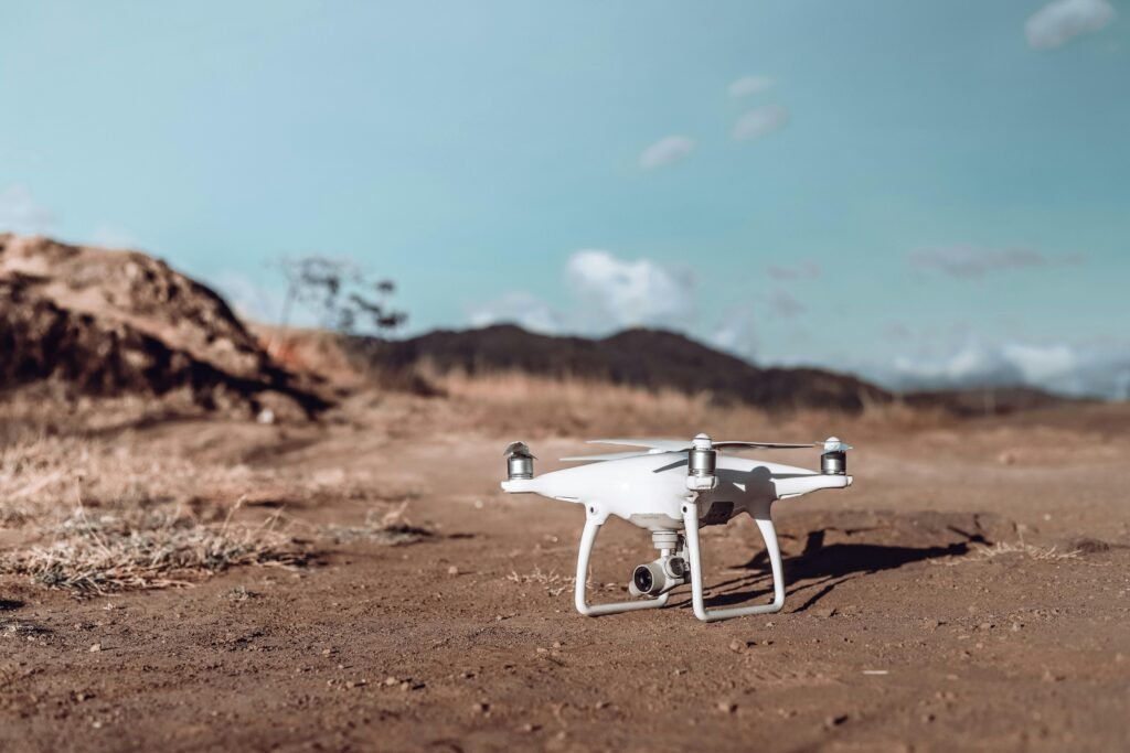
Drone property surveying starts with a planned flight path programmed through special software. The drone flies over the property and captures dozens or even hundreds of overlapping geotagged images. These images are processed using photogrammetry techniques to produce accurate maps and models. The entire workflow ensures that drone property surveys provide consistent and measurable data. At Geo Land Survey, trained drone pilots follow strict flight guidelines and quality checks to ensure that each drone survey delivers the highest level of accuracy.
Applications of Drone Survey in Modern Projects
Applications of drone property surveying are widespread in real estate, land development, agriculture, infrastructure and environmental monitoring. For property buyers and sellers, drone property surveying provides a clear and reliable overview of the land, helping them make informed decisions. Developers use drone survey data to more efficiently plan layouts, roads, drainage and utilities. In agriculture, drone surveys help identify soil heterogeneity and crop health patterns. Environmental experts use drone data to monitor vegetation, water bodies and land changes. Geo Land Survey has implemented drone survey solutions across multiple industries, ensuring clarity and confidence for every project.
Drone Property Survey for Real Estate and Land Ownership
Drone property survey is extremely useful for property verification and boundary review. Land with irregular shapes or dense vegetation can make traditional surveying difficult, but drones overcome these obstacles by capturing top-down views and elevation details. Real estate buyers benefit from drone surveys, as they understand the exact nature of the land they are purchasing. Sellers use drone property survey reports to show potential buyers clear, up-to-date site conditions. Geo Land Surveys ensures that every drone survey includes accurate visuals that support legal and financial decisions.
Drone Property Survey in Construction Planning
Construction projects rely on reliable site data before any work begins. Drone property surveying provides topographic information, slope analysis and existing site features with impressive accuracy. Engineers and planners use this data for design alignment, material estimation, and monitoring site progress. Throughout the project lifecycle, drone property surveys can be repeated to compare changes and track construction stages. Geo Land Survey regularly uses drone-based surveys to help developers keep their projects on time and within budget.
Drone Property Survey for Land Development
Land development requires a detailed understanding of the terrain, natural features and existing infrastructure. Drone property surveying provides clarity at every stage of planning. Whether the land is being converted for housing, commercial space, or township development, aerial insights from drone property surveys allow planners to make accurate layout decisions. Geo Land Survey integrates drone data into CAD and GIS systems to produce high-quality development maps that guide clients through each step of planning and execution.
Benefits of Choosing Drone Survey
Drone surveying offers speed, accuracy, cost savings and increased safety. Drones eliminate the need for surveyors to walk over dangerous or uneven ground. Analyzing, storing and sharing the digital output of a drone survey is much easier than traditional survey notes. Geo Land Survey provides drone property survey services that significantly reduce survey time, especially for larger properties. Clients receive data that is clear, measurable and suitable for legal documentation, engineering design and investment planning.
Why Geo Land Survey Is Trusted for Drone Property Survey
At Geo Land Survey, the drone property survey process is handled by trained professionals using advanced UAVs and high-accuracy software. The company’s expertise ensures that every drone survey adheres to strict safety regulations and quality standards. Customers receive detailed maps, accurate property boundaries and reliable elevation information that supports their project needs. With a commitment to innovation and accuracy, Geo Land Survey continues to provide drone survey solutions that meet the growing demand for advanced land analysis.
Conclusion
Drone survey is revolutionizing the way properties are measured, viewed and understood. By combining drone technology with high-resolution imaging and precise data processing, drone surveying provides unmatched clarity for landowners, developers and decision makers. As modern projects become more complex, the need for accurate and efficient surveying is increasing. Geo Land Survey remains at the forefront of drone-based survey solutions, ensuring every customer receives reliable data, clear visuals and professional support.